
To use maps and GPS for floating routes, start by selecting reliable GPS devices and environment-specific maps, updating them regularly for accuracy. Plan your route with waypoints while considering hazards like shallow areas or rocks. Calibrate your equipment properly, especially the compass and sensors, before setting out. Cross-check electronic data with visual cues and always carry physical maps or a compass as backup. Keeping safety in mind, explore how to optimize your navigation for a smooth and safe journey.
Key Takeaways
- Select reliable GPS devices and environment-specific maps; regularly update them for accuracy.
- Plan routes with awareness of hazards, using waypoints and cross-referencing visual cues during navigation.
- Calibrate GPS and compass devices properly before trips to ensure precise readings and avoid misdirection.
- Carry physical maps or a compass as backups, and monitor weather and battery life to maintain safety.
- Continuously cross-check GPS data with visual surroundings and adjust routes promptly for changing conditions.
Charting floating routes has become much easier thanks to the integration of maps and GPS technology. With these tools at your fingertips, you can plan, follow, and adjust your route with confidence, knowing you’re reducing the risk of getting lost or encountering unforeseen hazards. However, to maximize safety and accuracy, you need to pay close attention to navigation safety and equipment calibration. Properly calibrated equipment ensures your GPS and navigation devices provide precise data, which is essential for floating routes where even minor errors can lead to significant detours or dangerous situations.
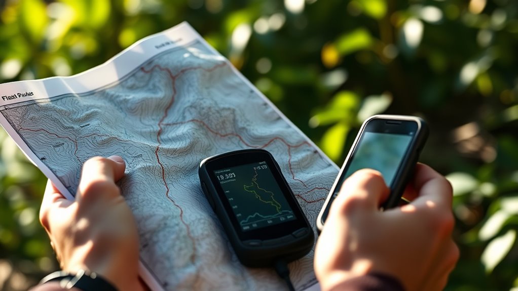
Start by selecting reliable GPS devices and maps suited for your environment. Modern GPS units often come with preloaded maps, but it’s important to update these regularly. Outdated maps or uncalibrated devices can give you inaccurate positioning, especially in areas with recent changes like new channels or obstacles. Calibration involves verifying that your equipment’s sensors and displays are aligned correctly. For example, compass calibration is fundamental because a misaligned compass can lead you astray, especially when natural landmarks are sparse. Take time before your trip to calibrate your equipment, following the manufacturer’s instructions, so you’re confident in its readings during your route.
Choose reliable GPS devices and update maps regularly for accurate floating route navigation.
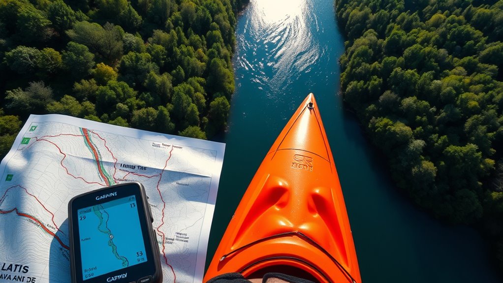
Navigation safety should always be your top priority. This means not relying solely on GPS; always have backup measures, such as physical maps or a compass, in case of device failure. Check the weather forecast before setting out, as adverse conditions can obscure visibility and make reliance on electronic devices risky. Keep an eye on your battery life, and bring portable chargers or spare batteries to prevent losing navigation capabilities mid-route. Familiarize yourself with the route beforehand, noting potential hazards like shallow areas, rocks, or currents that could affect your floating path. Regularly cross-reference your GPS or digital map with visual cues to confirm your position. Additionally, understanding the implications of AI in drug discovery can help you recognize the importance of technology in ensuring safety and efficiency during navigation.
Adjust your route as needed, especially if you encounter unexpected obstacles or changing conditions. Use your device’s features—such as waypoints and route tracking—to stay oriented. Remember, even the most advanced GPS units aren’t foolproof; environmental interference like tall structures or dense vegetation can disrupt signals. That’s why maintaining a vigilant, safety-first approach is essential. Keep communication devices handy and inform someone about your planned route and expected return time.

Garmin GPSMAP 86Sci, Floating Handheld GPS with Button Operation, Preloaded BlueChart G3 Coastal Charts And Inreach Satellite Communication capabilities, Stream Boat Data From Compatible Chartplotters
- Water-resistant floating design: Durable and easy to retrieve on water
- Sunlight-visible 3-inch display: Clear visibility in bright conditions
- Button operation: Simple and intuitive controls
As an affiliate, we earn on qualifying purchases.
As an affiliate, we earn on qualifying purchases.
Frequently Asked Questions
How Accurate Are GPS Devices in Remote Water Areas?
GPS devices in remote water areas are generally accurate but depend heavily on satellite signals. When you’re in open water, the signal tends to be strong, providing precise location data. However, dense canopies or obstacles can weaken the satellite signal, affecting accuracy. Proper map calibration is essential to guarantee your device aligns correctly with real-world positions. Keep your device updated and check signal strength regularly for the best floating route navigation.
Can Maps Be Used Offline for Floating Routes?
You can definitely rely on offline maps for floating routes, saving you from being caught between a rock and a hard place. Just make sure you download and store the maps beforehand, so you have access even without internet. With good map storage, you’ll have all the details you need right at your fingertips, ensuring smooth navigation. It’s like having a trusty compass guiding you through uncharted waters.
What Should I Do if My GPS Signal Is Lost?
If your GPS signal is lost, start by troubleshooting GPS issues, such as checking if your device has a clear view of the sky or restarting it. Use map calibration techniques to improve accuracy, like recalibrating your compass or manually adjusting the map. Keep a physical map handy as a backup and note landmarks to help you navigate until your GPS signal returns. Stay calm and stay aware of your surroundings.
Are There Waterproof Maps Available for Boating?
Imagine you’re steering through a foggy bay, and your GPS fails. Waterproof marine cartography maps, like those from Navionics, are perfect for such situations. They’re designed for chart plotting and are water-resistant, so you can keep your bearings even if your electronic devices are compromised. These maps come in durable, waterproof formats, ensuring you stay on course and safely reach your destination despite challenging conditions.
How Do I Update Map Data for Floating Routes?
To update map data for floating routes, start by checking your GPS device or app for available updates. Follow the map update procedures provided by your device’s manufacturer or software provider, usually involving downloading the latest firmware or map files. This guarantees GPS data accuracy, which is essential for safe navigation. Regular updates help you stay informed about new routes, hazards, and navigational changes in your boating areas.
Conclusion
Using maps and GPS makes floating routes safer and more enjoyable, even if you’re new to the area. Don’t worry about getting lost—technology helps you stay on track and discover hidden spots. Some might think it’s complicated, but once you get the hang of it, you’ll appreciate how easy and reliable these tools are. So, trust your devices, plan ahead, and float with confidence, knowing you have the right navigation at your fingertips.